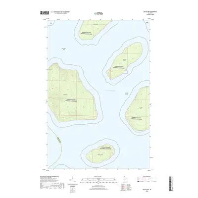
2018 Map of Oak Island
USGS Topo · Published 2018About this map
Oak Island and its neighboring landmasses emerge from the cold waters of Lake Superior in this detailed 2018 survey. Protected within the Apostle Islands National Lakeshore, the archipelago represents a significant intersection of maritime geography and conservation history. The topography reveals substantial elevation on Oak Island itself, while the southeastern corner of the map captures the distinctive Quarry Point on Stockton Island, a name hinting at the region's industrial past and sandstone resources.
Find a feature on this map
13 named features on this map. Tap any name to fly to it.
Don’t see what you’re looking for? This feature index may not catch every label — zoom into the map to look around manually.
Map Details
Editions of this 2018 Oak Island Map
This is the sole edition of this map. No revisions or reprints were ever made.
Other maps of this area
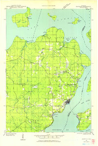
1941 · Bayfield
USGS Topo · 1:48,000
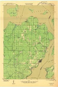
1946 · Bayfield
USGS Topo · 1:48,000
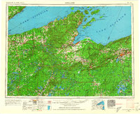
1953 · Ashland
USGS Topo · 1:250,000
1954 · Two Harbors
USGS Topo · 1:250,000
1957 · Two Harbors
USGS Topo · 1:250,000
1958 · Ashland
USGS Topo · 1:250,000
1958 · Two Harbors
USGS Topo · 1:250,000
1963 · Cat Island
USGS Topo · 1:24,000
1963 · Rocky Island
USGS Topo · 1:62,500
1963 · Oak Island
USGS Topo · 1:24,000