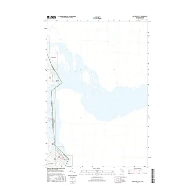
2017 Map of Oak Ridge OE E
USGS Topo · Published 2017About this map
Saint Marys River serves as the international boundary on this survey, where the waters of the East Neebish Channel separate Michigan from Ontario. The geography is dominated by large riverine islands and shoreline points that have long influenced navigation and local settlement patterns along this maritime corridor. On the western bank in Chippewa Co, the landscape transitions from Sugar Island in the north through Lake Nicolet to the northern tip of Neebish Island in the south. Local access is marked by several rural routes including S Rains Island Rd and S Parr Rd, which connect the small island communities. Key maritime landmarks such as Harwood Point, Mirre Point, and Johnson Point delineate the complex shoreline of these river channels. The interior of these islands features varied elevations, such as Moon Hill, and smaller landmasses like Rains Island.
Find a feature on this map
19 named features on this map. Tap any name to fly to it.
Don’t see what you’re looking for? This feature index may not catch every label — zoom into the map to look around manually.
Map Details
Editions of this 2017 Oak Ridge OE E Map
This is the sole edition of this map. No revisions or reprints were ever made.
Other maps of this area

1919 · Neebish
USGS Topo · 1:62,500

1941 · Neebish
USGS Topo · 1:63,360

1951 · Baie De Wasai
USGS Topo · 1:24,000

1951 · Oak Ridge
USGS Topo · 1:24,000

1951 · Lake George
USGS Topo · 1:62,500

1953 · Munuscong
USGS Topo · 1:24,000

1953 · Munuscong NE
USGS Topo · 1:24,000

1954 · Sault Sainte Marie
USGS Topo · 1:250,000

1956 · Sault Sainte Marie
USGS Topo · 1:250,000

1957 · Sault Sainte Marie
USGS Topo · 1:250,000