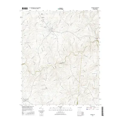
2016 Map of Oakboro
USGS Topo · Published 2016About this map
Rocky River winds through the heart of this landscape, forming a natural boundary where Stanly, Union, and Anson Counties meet. The town of Oakboro serves as the primary hub, characterized by a grid of streets including Center St and College St that reflect its role as a regional center. The map captures the Piedmont countryside during a period of established rural community, with outlying settlements like Big Lick and Red Cross connected by a network of family-named roads such as Hatley-Burris Rd and Barbees Grove Rd. Genealogists will find significant value in the numerous recorded burial sites and congregations, including the Mount Moriah Methodist Church Cem and Rocky Mount Church Cem, which anchor the surrounding farmsteads. The drainage patterns of Big Bear Creek and Richardson Creek illustrate the dissected terrain that has long shaped the agriculture and development of this North Carolina region.
Find a feature on this map
119 named features on this map. Tap any name to fly to it.
Don’t see what you’re looking for? This feature index may not catch every label — zoom into the map to look around manually.
Map Details
Editions of this 2016 Oakboro Map
This is the sole edition of this map. No revisions or reprints were ever made.
Other maps of this area
1953 · Charlotte
USGS Topo · 1:250,000
1954 · Charlotte
USGS Topo · 1:250,000
1957 · Mount Pleasant
USGS Topo · 1:62,500
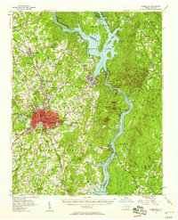
1957 · Albemarle
USGS Topo · 1:62,500
1960 · Charlotte
USGS Topo · 1:250,000
1962 · Charlotte
USGS Topo · 1:250,000
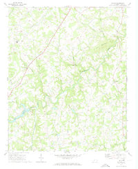
1970 · Watson
USGS Topo · 1:24,000
1970 · Polkton
USGS Topo · 1:24,000
1970 · Olive Branch
USGS Topo · 1:24,000
1971 · Stanfield
USGS Topo · 1:24,000