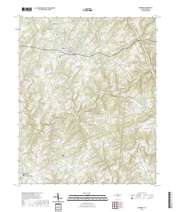
2022 Map of Oakboro
USGS Topo · Published 2022About this map
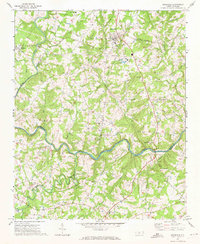
Oakboro serves as the central hub of this Piedmont landscape, situated at the intersection of several regional routes that connect it to the rural communities of Big Lick and Red Cross. The geography is defined by a dense network of watercourses, most notably the winding Rocky River and Richardson Creek, which carve through the terrain and form the jurisdictional boundaries between Stanly, Union, and Anson counties. These waterways and their numerous tributaries, such as Cucumber Cr and Big Bear Creek, historically shaped the agricultural and transport patterns of the region.
Find a feature on this map
123 named features on this map. Tap any name to fly to it.
Don’t see what you’re looking for? This feature index may not catch every label — zoom into the map to look around manually.
Map Details
Editions of this 2022 Oakboro Map
This is the sole edition of this map. No revisions or reprints were ever made.
Other maps of this area

1953 · Charlotte
USGS Topo · 1:250,000

1954 · Charlotte
USGS Topo · 1:250,000

1957 · Mount Pleasant
USGS Topo · 1:62,500

1957 · Albemarle
USGS Topo · 1:62,500

1960 · Charlotte
USGS Topo · 1:250,000

1962 · Charlotte
USGS Topo · 1:250,000
1970 · Watson
USGS Topo · 1:24,000
1970 · Polkton
USGS Topo · 1:24,000
1970 · Olive Branch
USGS Topo · 1:24,000
1971 · Stanfield
USGS Topo · 1:24,000