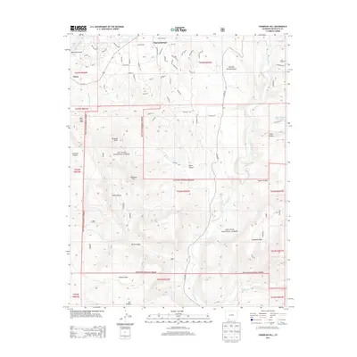
2013 Map of Oakbrush Hill
USGS Topo · Published 2013About this map
Pagosa Springs and the surrounding wilderness of the San Juan National Forest define this 2013 landscape. The map details the transition from the residential development of Pagosa Springs, with streets like Prospect Blvd and S Pagosa Blvd, into the canyon-carved terrain of the southwest. Water resources are central to the area's geography, featuring Vista Lake and Echo Canyon Reservoir, while the San Juan River and Rio Blanco flow through the eastern and southern reaches. Significant elevation changes are marked by prominent features such as Oakbrush Hill, Eightmile Mesa, and Newton Mesa. To the northwest, the small settlement of Nutria sits along Us-160, providing a point of reference for the road network that connects these high-altitude communities and recreation areas.
Find a feature on this map
76 named features on this map. Tap any name to fly to it.
Don’t see what you’re looking for? This feature index may not catch every label — zoom into the map to look around manually.
Map Details
Editions of this 2013 Oakbrush Hill Map
This is the sole edition of this map. No revisions or reprints were ever made.
Other maps of this area

1913 · Summitville
USGS Topo · 1:125,000

1915 · Summitville
USGS Topo · 1:125,000

1924 · Pagosa Springs
USGS Topo · 1:125,000

1927 · Pagosa Springs
USGS Topo · 1:125,000

1945 · Durango
USGS Topo · 1:250,000

1953 · Durango
USGS Topo · 1:250,000

1954 · Durango
USGS Topo · 1:250,000

1957 · Chromo
USGS Topo · 1:62,500

1957 · Wolf Creek Pass
USGS Topo · 1:62,500

1957 · Pagosa Junction
USGS Topo · 1:62,500