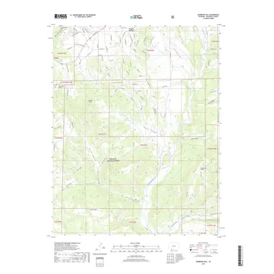
2019 Map of Oakbrush Hill
USGS Topo · Published 2019About this map
Pagosa Springs and the southern reaches of the San Juan National Forest define this landscape at the edge of the Southern Rockies. The settlement of Nutria is situated among a network of residential roads like Chris Mountain Dr and Scenic Ave, reflecting the modern development patterns of Archuleta County. The geography is dominated by dramatic elevation changes, where high points such as Oakbrush Hill and Pardonia Point look down upon deeply cut drainages like Polito Canyon and Taylor Canyon.
Find a feature on this map
93 named features on this map. Tap any name to fly to it.
Don’t see what you’re looking for? This feature index may not catch every label — zoom into the map to look around manually.
Map Details
Editions of this 2019 Oakbrush Hill Map
This is the sole edition of this map. No revisions or reprints were ever made.
Other maps of this area

1913 · Summitville
USGS Topo · 1:125,000

1915 · Summitville
USGS Topo · 1:125,000

1924 · Pagosa Springs
USGS Topo · 1:125,000

1927 · Pagosa Springs
USGS Topo · 1:125,000

1945 · Durango
USGS Topo · 1:250,000

1953 · Durango
USGS Topo · 1:250,000

1954 · Durango
USGS Topo · 1:250,000

1957 · Chromo
USGS Topo · 1:62,500

1957 · Wolf Creek Pass
USGS Topo · 1:62,500

1957 · Pagosa Junction
USGS Topo · 1:62,500