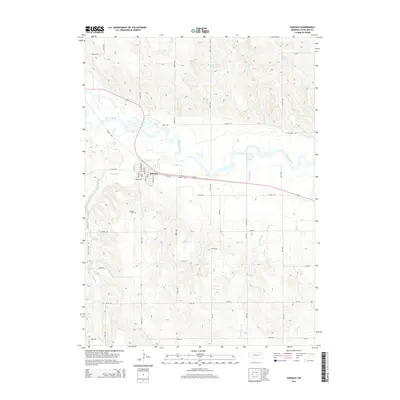
2014 Map of Oakdale
USGS Topo · Published 2014About this map
Oakdale sits at a crossroads of water and rail in Antelope County, where the meandering Elkhorn River defines the landscape. This 2014 survey captures the village layout with a street grid including Mill St, Taylor St, and Grant St, bounded to the south by the Oakdale Cem. The surrounding plains are heavily etched by a network of drainage systems, most notably Cedar Cr and Saint Clair Cr, which feed into the river valley. To the north, the Mitchell-Brandt Reservoir provides a significant water feature amidst the section-line road network. The map illustrates a rural Nebraska landscape defined by its agricultural grid, where numbered routes like 844th Rd and 529th Ave connect the isolated farmsteads to the central hub of Oakdale.
Find a feature on this map
41 named features on this map. Tap any name to fly to it.
Don’t see what you’re looking for? This feature index may not catch every label — zoom into the map to look around manually.
Map Details
Editions of this 2014 Oakdale Map
This is the sole edition of this map. No revisions or reprints were ever made.
Other maps of this area

1955 · Broken Bow
USGS Topo · 1:250,000

1955 · Sioux City
USGS Topo · 1:250,000

1955 · Fremont
USGS Topo · 1:250,000

1955 · O'Neill
USGS Topo · 1:250,000

1956 · Broken Bow
USGS Topo · 1:250,000

1957 · Fremont
USGS Topo · 1:250,000

1958 · Sioux City
USGS Topo · 1:250,000

1958 · Fremont
USGS Topo · 1:250,000

1959 · O'Neill
USGS Topo · 1:250,000

1959 · Sioux City
USGS Topo · 1:250,000