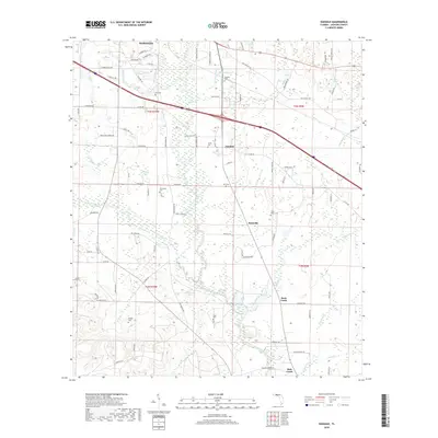
2018 Map of Oakdale
USGS Topo · Published 2018About this map
The Chipola River winds through this Jackson County landscape, defining a corridor of wetlands and small agricultural settlements south of Marianna. This 2018 survey documents a region where local geography is anchored by family names and burial grounds, such as Braxton Cem and Pledger Cem. The rural community of Simsville sits at a crossroads near Little Rocky Cem, while Oakdale is positioned further north along the County Road 280 corridor. Numerous tributaries, including Spring Creek, Maddox Slough, and Bridge Cr, feed into the river system, creating a complex drainage network that has historically dictated land use and settlement patterns. For researchers, the map provides a contemporary view of these traditional hubs, tracing the relationship between the river, rural road networks like the Old Spanish Trail, and long-established local landmarks.
Find a feature on this map
98 named features on this map. Tap any name to fly to it.
Don’t see what you’re looking for? This feature index may not catch every label — zoom into the map to look around manually.
Map Details
Editions of this 2018 Oakdale Map
This is the sole edition of this map. No revisions or reprints were ever made.
Other maps of this area
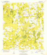
1952 · Cypress
USGS Topo · 1:24,000
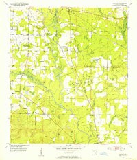
1952 · Oakdale
USGS Topo · 1:24,000
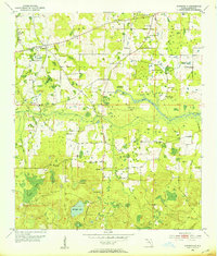
1952 · Kynesville
USGS Topo · 1:24,000
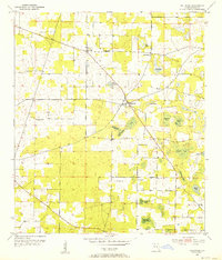
1952 · Dellwood
USGS Topo · 1:24,000
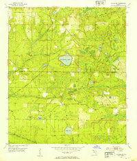
1952 · Alford SE
USGS Topo · 1:24,000
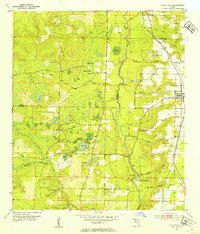
1952 · Altha West
USGS Topo · 1:24,000
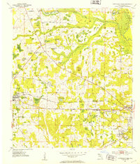
1952 · Cottondale East
USGS Topo · 1:24,000
1952 · Altha East
USGS Topo · 1:24,000
1952 · Marianna
USGS Topo · 1:24,000
1954 · Tallahassee
USGS Topo · 1:250,000