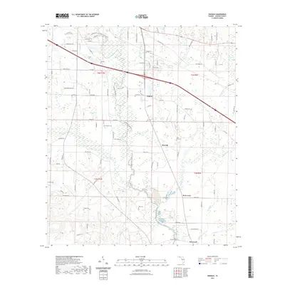
2021 Map of Oakdale
USGS Topo · Published 2021About this map
The Chipola River carves a central path through this section of Jackson County, flanked by the Chipola River State Trl. The landscape is a network of small settlements and family landmarks, including Oakdale, Simsville, and Rock Creek. These communities are connected by historic routes like the Old Spanish Trl, reflecting the long-standing transit patterns of the Florida Panhandle.
Find a feature on this map
99 named features on this map. Tap any name to fly to it.
Don’t see what you’re looking for? This feature index may not catch every label — zoom into the map to look around manually.
Map Details
Editions of this 2021 Oakdale Map
This is the sole edition of this map. No revisions or reprints were ever made.
Other maps of this area

1952 · Cypress
USGS Topo · 1:24,000

1952 · Oakdale
USGS Topo · 1:24,000

1952 · Kynesville
USGS Topo · 1:24,000

1952 · Dellwood
USGS Topo · 1:24,000

1952 · Alford SE
USGS Topo · 1:24,000

1952 · Altha West
USGS Topo · 1:24,000

1952 · Cottondale East
USGS Topo · 1:24,000

1952 · Altha East
USGS Topo · 1:24,000

1952 · Marianna
USGS Topo · 1:24,000

1954 · Tallahassee
USGS Topo · 1:250,000