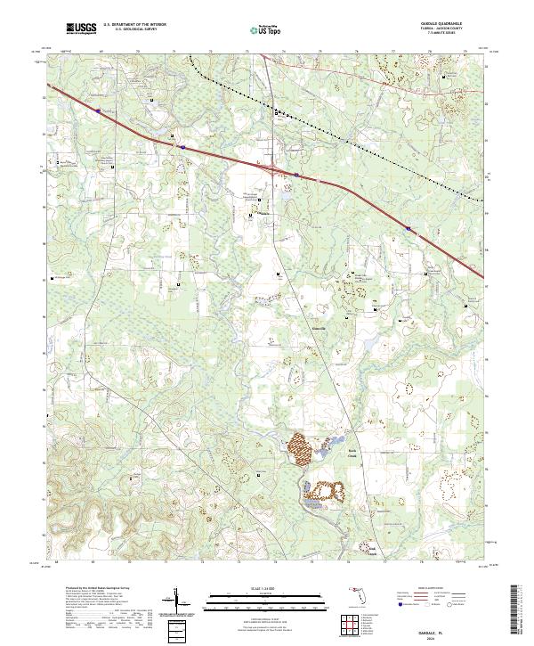
2024 Map of Oakdale
USGS Topo · Published 2024About this map
Oakdale and the neighboring settlement of Simsville serve as central points in this Jackson County landscape, where the Chipola River and Spring Creek dictate the local topography. This modern survey illustrates a rural corridor heavily defined by longstanding community landmarks and family burial grounds. Notable sites include the New Galilee Missionary Baptist Church Cem and the Marvin Chapel Freewill Baptist Church Cem, which anchor the spiritual history of the region. The map also records numerous smaller family and community plots such as Pledger Cem, Braxton Cem, and the Peacock Family Cem. These features, alongside the meandering Maddox Slough and Bridge Creek, show how early settlement patterns followed the waterways and ridges, maintaining a distinct rural character even as modern roads like Co RD 280 have improved local connectivity.
Find a feature on this map
109 named features on this map. Tap any name to fly to it.
Don’t see what you’re looking for? This feature index may not catch every label — zoom into the map to look around manually.
Map Details
Editions of this 2024 Oakdale Map
This is the sole edition of this map. No revisions or reprints were ever made.
Other maps of this area

1952 · Cypress
USGS Topo · 1:24,000

1952 · Oakdale
USGS Topo · 1:24,000

1952 · Kynesville
USGS Topo · 1:24,000

1952 · Dellwood
USGS Topo · 1:24,000

1952 · Alford SE
USGS Topo · 1:24,000

1952 · Altha West
USGS Topo · 1:24,000

1952 · Cottondale East
USGS Topo · 1:24,000

1952 · Altha East
USGS Topo · 1:24,000

1952 · Marianna
USGS Topo · 1:24,000

1954 · Tallahassee
USGS Topo · 1:250,000