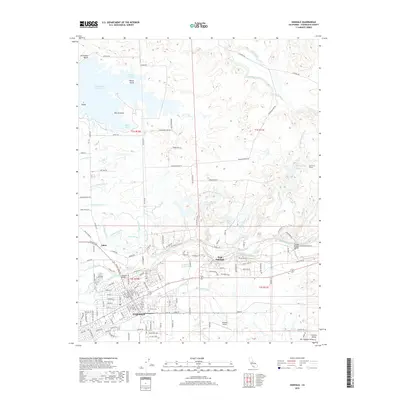
2018 Map of Oakdale
USGS Topo · Published 2018About this map
The Stanislaus River defines the heart of this landscape, supporting a complex network of irrigation that fans across the San Joaquin Valley. Agriculture and water management are the primary drivers of settlement here, with the San Joaquin Main Canal and the Oakdale N Main Canal feeding numerous laterals such as the Rodden Lateral and Burnett Lateral. In the city of Oakdale, the street grid reveals a community anchored by education and tradition, featuring the Oakdale High Sch, St Marys Catholic Church, and the Citizens Cem.
Find a feature on this map
182 named features on this map. Tap any name to fly to it.
Don’t see what you’re looking for? This feature index may not catch every label — zoom into the map to look around manually.
Map Details
Editions of this 2018 Oakdale Map
This is the sole edition of this map. No revisions or reprints were ever made.
Other maps of this area
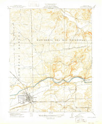
1915 · Oakdale
USGS Topo · 1:31,680
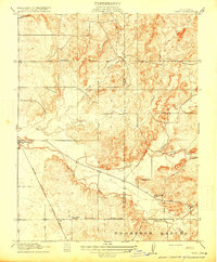
1915 · Trigo
USGS Topo · 1:31,680

1915 · Paulsell
USGS Topo · 1:31,680
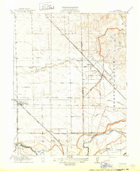
1915 · Thalheim
USGS Topo · 1:31,680
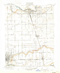
1916 · Riverbank
USGS Topo · 1:31,680
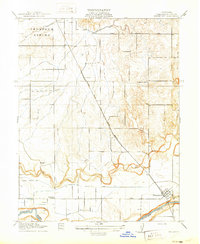
1916 · Waterford
USGS Topo · 1:31,680
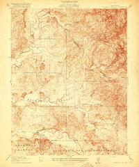
1916 · Bachelor Valley
USGS Topo · 1:31,680
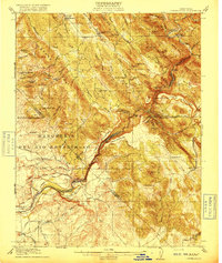
1916 · Copperopolis
USGS Topo · 1:62,500
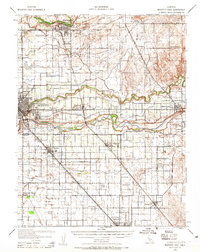
1939 · Modesto East
USGS Topo · 1:62,500
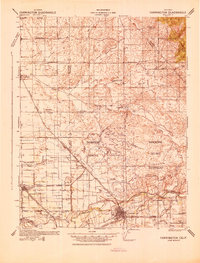
1942 · Farmington
USGS Topo · 1:62,500