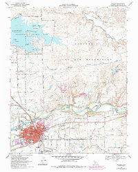
2021 Map of Oakdale
USGS Topo · Published 2021About this map
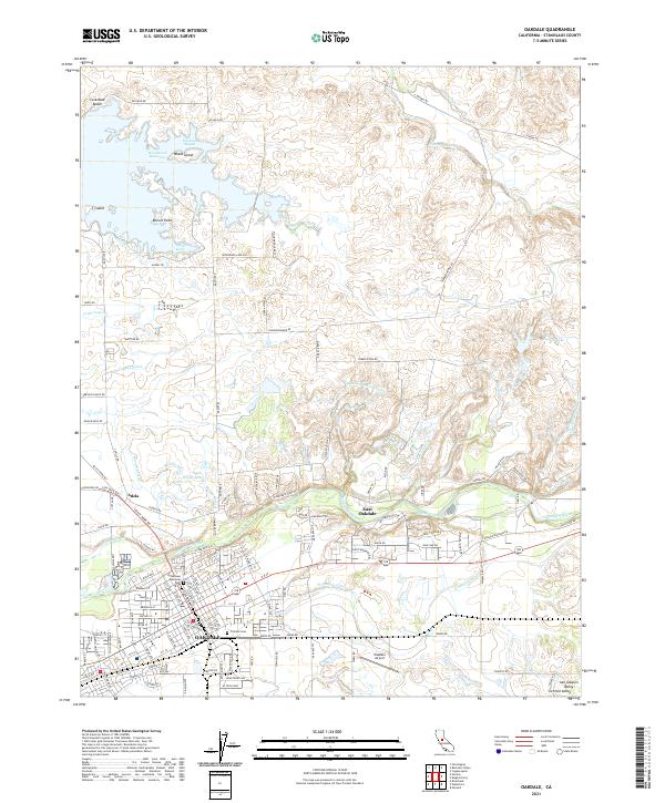
The Stanislaus River winds through this central California landscape, defining the northern edge of Oakdale and East Oakdale. The terrain transitions from the developed grid of the city to the expansive agricultural lands of the San Joaquin Valley. To the north, the Woodward Reservoir is a prominent water feature, surrounded by landmarks like Whale Island, Biscuit Point, and T Island. The local economy is deeply tied to water management, as evidenced by a complex network of irrigation infrastructure including the Oakdale N Main Canal, Cometa Lateral, and Crane Lateral.
Find a feature on this map
107 named features on this map. Tap any name to fly to it.
Don’t see what you’re looking for? This feature index may not catch every label — zoom into the map to look around manually.
Map Details
Editions of this 2021 Oakdale Map
This is the sole edition of this map. No revisions or reprints were ever made.
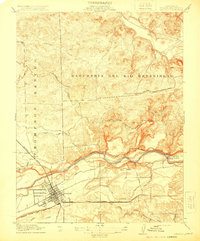
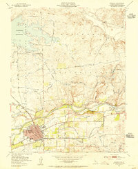
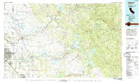
Historical Maps of Oakdale Through Time
5 maps found