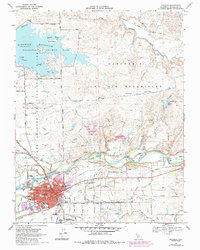
1968 Map of Oakdale
USGS Topo · Published 1987About this map
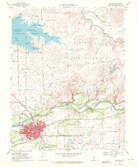
The Stanislaus River defines the central landscape of this Central Valley corridor, bordered by the historical boundaries of the Rancho Del Rio Estanislao. The city of Oakdale serves as the primary hub, showing significant residential and industrial growth by the late 1960s, including the presence of the IOOF Cem and Citizens Cem. Educational landmarks like Fair Oaks Sch and Cleveland Sch anchor the local neighborhoods, while the extensive rail infrastructure of the Southern Pacific, Atchison Topeka and Santa Fe, and the Sierra RR highlights the area's importance as a transportation junction.
Find a feature on this map
75 named features on this map. Tap any name to fly to it.
Don’t see what you’re looking for? This feature index may not catch every label — zoom into the map to look around manually.
Map Details
Editions of this 1968 Oakdale Map
2 editions found
Other maps of this area

1915 · Oakdale
USGS Topo · 1:31,680

1915 · Trigo
USGS Topo · 1:31,680

1915 · Paulsell
USGS Topo · 1:31,680

1915 · Thalheim
USGS Topo · 1:31,680

1916 · Riverbank
USGS Topo · 1:31,680

1916 · Waterford
USGS Topo · 1:31,680

1916 · Bachelor Valley
USGS Topo · 1:31,680

1916 · Copperopolis
USGS Topo · 1:62,500

1939 · Modesto East
USGS Topo · 1:62,500

1942 · Farmington
USGS Topo · 1:62,500