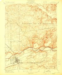
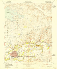
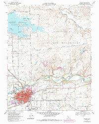
1994 Map of Oakdale
USGS Topo · Published 1995About this map
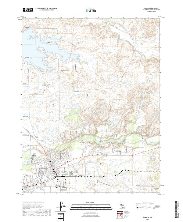
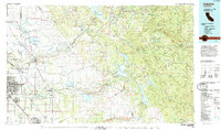
The Stanislaus National Forest and the rugged foothills of the Sierra Nevada dominate the eastern half of this map, transitioning into the fertile agricultural plains of the San Joaquin Valley. The landscape is defined by massive water management projects, most notably the Hetch Hetchy Aqueduct and large reservoirs like New Melones Lake, Don Pedro Reservoir, and Lake Mc Clure (also labeled Exchequer Reservoir). These water bodies reflect the intensive transformation of the Stanislaus River, Tuolumne River, and Merced River systems to support both urban needs and the intricate canal networks surrounding Oakdale and Turlock.
Find a feature on this map
84 named features on this map. Tap any name to fly to it.
Don’t see what you’re looking for? This feature index may not catch every label — zoom into the map to look around manually.
Map Details
Editions of this 1994 Oakdale Map
2 editions found
Historical Maps of Knights Ferry Through Time
5 maps found