Loading...
Loading map...2022 Map of Oakhurst
USGS Topo · Published 2022About this map
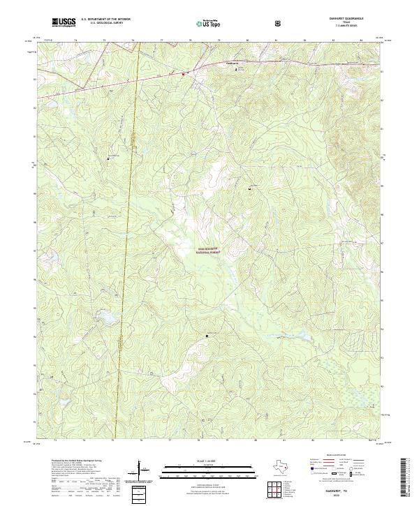
Sam Houston National Forest dominates the terrain of this East Texas region, where the E Fork San Jacinto River winds southward through a network of creeks and branches. The settlement of Oakhurst sits at the northern edge of the quadrangle along the San Jacinto and Walker county line, serving as a hub for the surrounding rural road network. The landscape is defined by its watercourses, including McCombs Cr, Brandy Cr, and the small Grace Lake.
Find a feature on this map
48 named features on this map. Tap any name to fly to it.
Don’t see what you’re looking for? This feature index may not catch every label — zoom into the map to look around manually.
Map Details
Date Portrayed2022
Date Published2022
PublisherU.S. Geological Survey
Map TypeTopographic
Scale1:24000
Physical Dimensions24 x 29 inches
Editions of this 2022 Oakhurst Map
This is the sole edition of this map. No revisions or reprints were ever made.
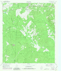
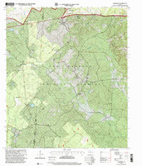
Historical Maps of Palmetto Park Through Time
3 maps found
Featured Locations
Source Details
SourceU.S. Geological Survey
CopyrightPublic Domain