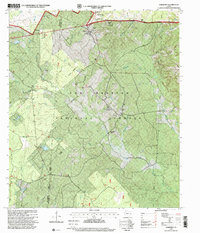
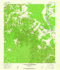
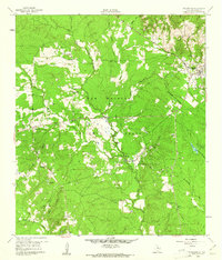
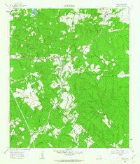
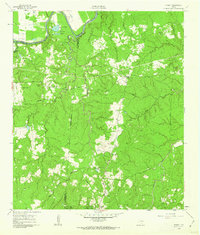
1997 Map of Oakhurst
USGS Topo · Published 2000About this map
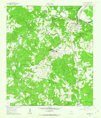
Oakhurst serves as the primary settlement within this portion of the Sam Houston National Forest, situated near the boundary between Walker and San Jacinto counties. The landscape is defined by the dense network of tributaries feeding the East Fork San Jacinto River, including Palmetto Creek and Mc Combs Creek. This 1990s revision reveals a deep layer of local history preserved within the forest, marked by numerous small congregations and burial grounds such as White Hill Missionary Ch, Center Hill Cemetery, and Hoby Church. The presence of the Raven Hill Historical Monument and the Oakhurst School suggests a well-established rural community that persists alongside modern forest management. Navigational features like the Star Ranger Trail and Palmetto Park provide a clear view of how this timbered region was utilized for both administrative and recreational purposes during the late twentieth century.
Find a feature on this map
28 named features on this map. Tap any name to fly to it.
Don’t see what you’re looking for? This feature index may not catch every label — zoom into the map to look around manually.
Map Details
Editions of this 1997 Oakhurst Map
This is the sole edition of this map. No revisions or reprints were ever made.
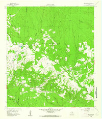
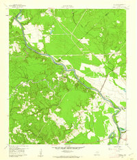
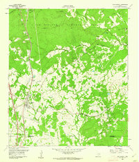
Other maps of this area

1954 · Beaumont
USGS Topo · 1:250,000

1957 · Beaumont
USGS Topo · 1:250,000
1960 · Maynard
USGS Topo · 1:24,000
1960 · Carlisle
USGS Topo · 1:24,000
1960 · New Waverly
USGS Topo · 1:24,000
1960 · Stephen Creek
USGS Topo · 1:24,000
1960 · Coldspring
USGS Topo · 1:24,000
1960 · Phelps
USGS Topo · 1:24,000
1961 · Staley
USGS Topo · 1:24,000
1961 · Riverside
USGS Topo · 1:24,000