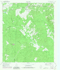
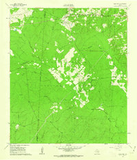
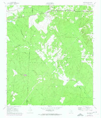
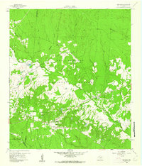
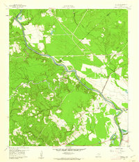
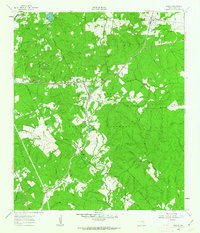
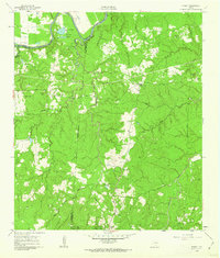
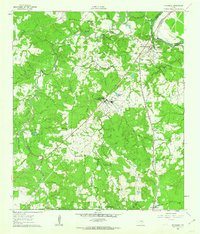
1961 Map of Oakhurst
USGS Topo · Published 1981About this map
The community of Oakhurst sits at the intersection of local history and nature, situated along the northern boundary of the Sam Houston National Forest. This 1961 survey, updated with 1972 aerial revisions, reveals a landscape defined by its rural institutions and the intricate drainage of the East Fork San Jacinto River. Genealogists will find a wealth of data in the many small burial grounds and houses of worship dotting the terrain, including Cleveland Cem, Hoby Cem, and the White Hill Missionary Ch.
Find a feature on this map
29 named features on this map. Tap any name to fly to it.
Don’t see what you’re looking for? This feature index may not catch every label — zoom into the map to look around manually.
Map Details
Editions of this 1961 Oakhurst Map
3 editions found
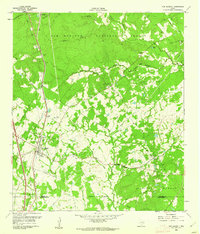
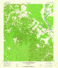
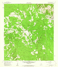
Other maps of this area

1954 · Beaumont
USGS Topo · 1:250,000

1957 · Beaumont
USGS Topo · 1:250,000
1960 · Maynard
USGS Topo · 1:24,000
1960 · Carlisle
USGS Topo · 1:24,000
1960 · New Waverly
USGS Topo · 1:24,000
1960 · Stephen Creek
USGS Topo · 1:24,000
1960 · Coldspring
USGS Topo · 1:24,000
1960 · Phelps
USGS Topo · 1:24,000
1961 · Staley
USGS Topo · 1:24,000
1961 · Riverside
USGS Topo · 1:24,000