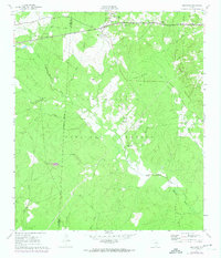
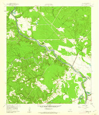
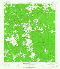
1961 Map of Oakhurst
USGS Topo · Published 1974About this map
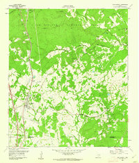
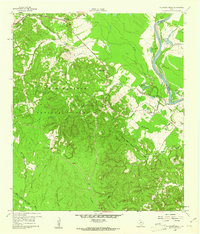
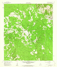
Oakhurst and the neighboring community of Enterprise anchor the northern reaches of this East Texas survey, where the heavy woodland of the Sam Houston National Forest begins to dominate the landscape. The passage of time is visible through an Old Railroad Grade running west of town, reflecting the region's logging and transit history. Several rural congregations and burial grounds, including White Hill Missionary Ch and Cleveland Cem, are scattered along the secondary roads and creek drainages. The East Fork San Jacinto River and its numerous tributaries, such as Cobb Creek and Johnson Creek, carve through the terrain, illustrating the dense hydrological network of San Jacinto County. Notable landmarks like the Raven Hill Historical Mon near Raven Hill provide specific points of interest for those researching local heritage or historical geography.
Find a feature on this map
30 named features on this map. Tap any name to fly to it.
Don’t see what you’re looking for? This feature index may not catch every label — zoom into the map to look around manually.
Map Details
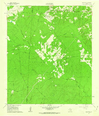
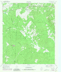
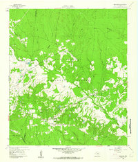
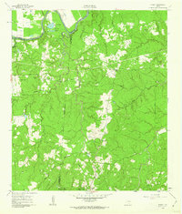
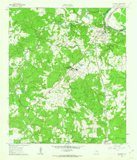
Editions of this 1961 Oakhurst Map
3 editions found
Other maps of this area

1954 · Beaumont
USGS Topo · 1:250,000

1957 · Beaumont
USGS Topo · 1:250,000
1960 · Maynard
USGS Topo · 1:24,000
1960 · Carlisle
USGS Topo · 1:24,000
1960 · New Waverly
USGS Topo · 1:24,000
1960 · Stephen Creek
USGS Topo · 1:24,000
1960 · Coldspring
USGS Topo · 1:24,000
1960 · Phelps
USGS Topo · 1:24,000
1961 · Staley
USGS Topo · 1:24,000
1961 · Riverside
USGS Topo · 1:24,000