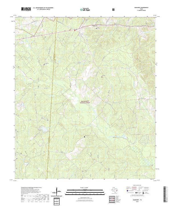
2022 Map of Oakhurst
USGS Topo · Published 2022About this map
Sam Houston National Forest dominates the terrain of this East Texas region, where the E Fork San Jacinto River winds southward through a network of creeks and branches. The settlement of Oakhurst sits at the northern edge of the quadrangle along the San Jacinto and Walker county line, serving as a hub for the surrounding rural road network. The landscape is defined by its watercourses, including McCombs Cr, Brandy Cr, and the small Grace Lake.
Find a feature on this map
48 named features on this map. Tap any name to fly to it.
Don’t see what you’re looking for? This feature index may not catch every label — zoom into the map to look around manually.
Map Details
Editions of this 2022 Oakhurst Map
This is the sole edition of this map. No revisions or reprints were ever made.
Other maps of this area

1954 · Beaumont
USGS Topo · 1:250,000

1957 · Beaumont
USGS Topo · 1:250,000

1960 · Maynard
USGS Topo · 1:24,000

1960 · Carlisle
USGS Topo · 1:24,000

1960 · New Waverly
USGS Topo · 1:24,000

1960 · Stephen Creek
USGS Topo · 1:24,000

1960 · Coldspring
USGS Topo · 1:24,000

1960 · Phelps
USGS Topo · 1:24,000

1961 · Staley
USGS Topo · 1:24,000

1961 · Riverside
USGS Topo · 1:24,000