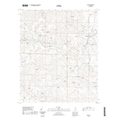
2020 Map of Oakman
USGS Topo · Published 2020About this map
Oakman and its surrounding communities are defined by a complex terrain of named ridges and hollows in Walker County. This survey highlights the traditional settlement patterns along the Wolf Cr and Blue Water Cr drainages, where historical hamlets like Coal Valley, Patton, and Corona established themselves within the topographic folds. The landscape is marked by numerous family and community landmarks, from Clemments Mtn to The Backbone. Genealogists will find significant value in the distribution of burial sites across the quadrangle, including the Oakman Cem, Swindle Cem, and the poignantly named Infant Hill Cem. The road network, including Lockhart Hill Rd and McLaughlin Mill Rd, reflects the area's transition from early industrial and timber routes to contemporary local access, crossing the Fayette and Walker County line.
Find a feature on this map
99 named features on this map. Tap any name to fly to it.
Don’t see what you’re looking for? This feature index may not catch every label — zoom into the map to look around manually.
Map Details
Editions of this 2020 Oakman Map
This is the sole edition of this map. No revisions or reprints were ever made.
Other maps of this area

1893 · Jasper
USGS Topo · 1:125,000

1949 · Parrish
USGS Topo · 1:24,000

1949 · Townley
USGS Topo · 1:24,000

1949 · Jasper
USGS Topo · 1:24,000

1949 · Oakman
USGS Topo · 1:24,000

1949 · Tutwiler School
USGS Topo · 1:24,000

1949 · Wiley
USGS Topo · 1:24,000

1951 · Jasper
USGS Topo · 1:24,000
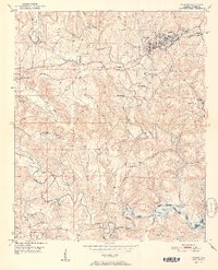
1951 · Parrish
USGS Topo · 1:24,000
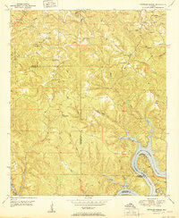
1951 · Tutwiler School
USGS Topo · 1:24,000