2024 Map of Oakman
USGS Topo · Published 2024About this map
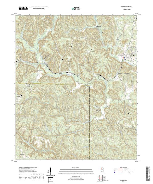
Oakman and its surrounding communities in the Coal Valley region are defined by a complex network of ridges and hollows along the border of Walker and Fayette counties. This modern survey illustrates the enduring settlement patterns of the area, where clusters of homes and family cemeteries are tucked away in the shadows of prominent features like Biscuit Mtn and Propst Mtn. The landscape is heavily dissected by waterways such as Wolf Creek and Blue Water Creek, which have dictated the winding paths of local roads like Mitchell Mtn Rd and New Oakman Hwy.
Find a feature on this map
100 named features on this map. Tap any name to fly to it.
Don’t see what you’re looking for? This feature index may not catch every label — zoom into the map to look around manually.
Map Details
Editions of this 2024 Oakman Map
This is the sole edition of this map. No revisions or reprints were ever made.