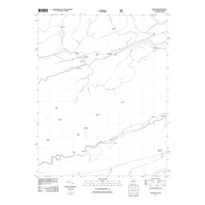
2011 Map of Oakvale
USGS Topo · Published 2011About this map
The East River and Wolf Creek carve through the West Virginia landscape near the Virginia border, defining the settlement patterns of Mercer County. Small communities like Oakvale and Kellysville are situated along these waterways and the parallel transport corridors of Old US 460 Rd and Cumberland Rd. The terrain is marked by significant gaps and ridges, including Honaker Gap and Shumate Gap, which have historically dictated the placement of local thoroughfares like Shumate Rd and Neal Chapel School Rd.
Find a feature on this map
65 named features on this map. Tap any name to fly to it.
Don’t see what you’re looking for? This feature index may not catch every label — zoom into the map to look around manually.
Map Details
Editions of this 2011 Oakvale Map
This is the sole edition of this map. No revisions or reprints were ever made.
Other maps of this area

1887 · Pocahontas
USGS Topo · 1:125,000

1890 · Dublin
USGS Topo · 1:125,000

1891 · Pocahontas
USGS Topo · 1:125,000

1891 · Dublin
USGS Topo · 1:125,000

1894 · Pocahontas
USGS Topo · 1:125,000

1895 · Pocahontas
USGS Topo · 1:125,000

1913 · Peterstown
USGS Topo · 1:48,000

1913 · Bluefield
USGS Topo · 1:48,000

1916 · Bluefield
USGS Topo · 1:62,500

1916 · Peterstown
USGS Topo · 1:62,500