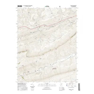
2016 Map of Oakvale
USGS Topo · Published 2016About this map
East River and the Norfolk Southern rail line dictate the settlement patterns of this corridor along the West Virginia and Virginia border. The village of Oakvale serves as a central hub, flanked by smaller hollows and ridge-top communities like Christian Ridge and Hatcher. To the south, the landscape shifts into the protected woodland of the Jefferson National Forest, where the terrain becomes significantly more complex around Buckhorn Mtn and Ragged Mtn.
Find a feature on this map
79 named features on this map. Tap any name to fly to it.
Don’t see what you’re looking for? This feature index may not catch every label — zoom into the map to look around manually.
Map Details
Editions of this 2016 Oakvale Map
This is the sole edition of this map. No revisions or reprints were ever made.
Other maps of this area

1887 · Pocahontas
USGS Topo · 1:125,000

1890 · Dublin
USGS Topo · 1:125,000

1891 · Pocahontas
USGS Topo · 1:125,000

1891 · Dublin
USGS Topo · 1:125,000

1894 · Pocahontas
USGS Topo · 1:125,000

1895 · Pocahontas
USGS Topo · 1:125,000

1913 · Peterstown
USGS Topo · 1:48,000

1913 · Bluefield
USGS Topo · 1:48,000

1916 · Bluefield
USGS Topo · 1:62,500

1916 · Peterstown
USGS Topo · 1:62,500