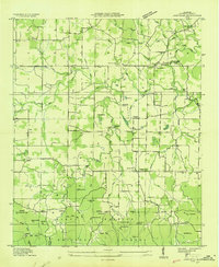
1935 Map of Oakville
USGS Topo · Published 1935About this map
Indian Mounds located west of Oakville highlight the deep cultural history of this northern Alabama landscape during the mid-1930s. This survey, conducted by the Tennessee Valley Authority and the U.S. Geological Survey, captures a densely organized rural society defined by a network of one-room schools and country churches. The map detail shows centers of community life like Cave Springs Sch, Aldridge Grove Ch, and the crossroad at Five Points.
Find a feature on this map
62 named features on this map. Tap any name to fly to it.
Don’t see what you’re looking for? This feature index may not catch every label — zoom into the map to look around manually.
Map Details
Editions of this 1935 Oakville Map
This is the sole edition of this map. No revisions or reprints were ever made.
Other maps of this area
1935 · Moulton
USGS Topo · 1:24,000
1935 · Upshaw
USGS Topo · 1:24,000
1935 · Danville
USGS Topo · 1:48,000
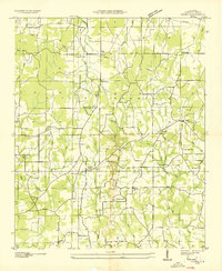
1936 · Caddo
USGS Topo · 1:24,000
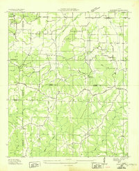
1936 · Mc Kendry
USGS Topo · 1:24,000
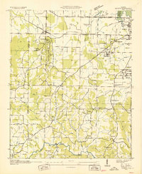
1936 · Trinity
USGS Topo · 1:24,000
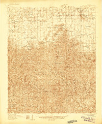
1936 · Moulton
USGS Topo · 1:48,000
1936 · Masterson
USGS Topo · 1:24,000
1936 · Stroups Crossroads
USGS Topo · 1:24,000
1938 · Danville
USGS Topo · 1:62,500