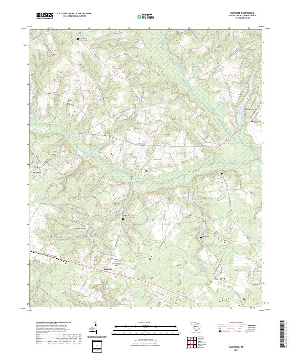
2024 Map of Oakwood
USGS Topo · Published 2024About this map
The South Fork Edisto River flows through the northeast corner of this Aiken County landscape, part of a dense network of blackwater streams and wetlands that define the region's geography. Historically a land of small mills and agrarian settlements, the area is marked by several significant water features including Johnson Millpond, Tarrants Millpond, and Scotts Lake. The small rural centers of Couchton and Oakwood anchor the western and southern reaches, while the terrain is dotted with small family and church burial grounds like Ocean Grove Church Graveyard and the Plunkett Cem.
Find a feature on this map
105 named features on this map. Tap any name to fly to it.
Don’t see what you’re looking for? This feature index may not catch every label — zoom into the map to look around manually.
Map Details
Editions of this 2024 Oakwood Map
This is the sole edition of this map. No revisions or reprints were ever made.
Other maps of this area

1920 · Aiken
USGS Topo · 1:48,000

1920 · Talatha
USGS Topo · 1:48,000

1921 · Aiken
USGS Topo · 1:62,500

1921 · Talatha
USGS Topo · 1:62,500

1923 · Williston
USGS Topo · 1:48,000

1927 · Williston
USGS Topo · 1:62,500

1943 · Aiken
USGS Topo · 1:62,500

1943 · Augusta East
USGS Topo · 1:125,000

1943 · Williston
USGS Topo · 1:62,500

1943 · Talatha
USGS Topo · 1:62,500