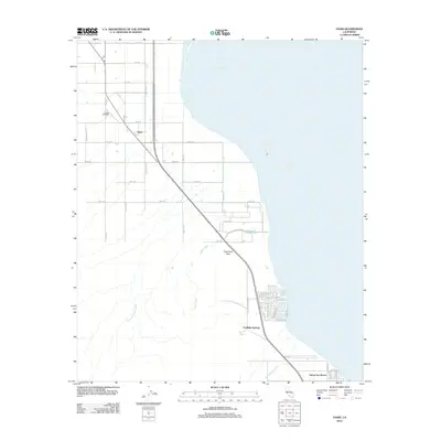
2012 Map of Oasis
USGS Topo · Published 2012About this map
Oasis and its surrounding agricultural grid sit at the western edge of the Coachella Valley, where the desert meets the rising waters of the Salton Sea. This 2012 landscape is defined by its transition from irrigated farmland to the desert shoreline. The map documents a network of named washes, including Garner Wash and Travertine Palms Wash, which drain the arid highlands toward the basin. Near the southern edge of the sheet, the residential layouts of Coolidge Springs and Salton Sea Beach appear as organized developments along the shore, with Fish Spring marking a specific point of interest. Transportation is anchored by the long diagonal of Highway 86, passing near the geological landmark of Travertine Rock. The irrigation infrastructure, such as the Oasis Lateral, illustrates the engineering required to sustain this desert community.
Find a feature on this map
39 named features on this map. Tap any name to fly to it.
Don’t see what you’re looking for? This feature index may not catch every label — zoom into the map to look around manually.
Map Details
Editions of this 2012 Oasis Map
This is the sole edition of this map. No revisions or reprints were ever made.
Other maps of this area
1904 · Indio
USGS Topo · 1:125,000
1931 · Vallecito
USGS Topo · 1:125,000
1940 · Cottonwood Spring
USGS Topo · 1:62,500
1940 · Durmid
USGS Topo · 1:62,500
1941 · Coachella
USGS Topo · 1:62,500
1942 · Agua Dulce
USGS Topo · 1:62,500
1943 · Vallecito
USGS Topo · 1:125,000
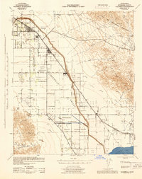
1943 · Coachella
USGS Topo · 1:62,500
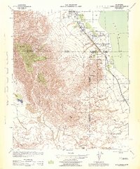
1944 · Agua Dulce
USGS Topo · 1:62,500
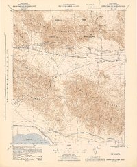
1944 · Cottonwood Spring
USGS Topo · 1:62,500