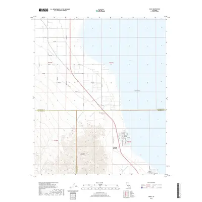
2018 Map of Oasis
USGS Topo · Published 2018About this map
Santa Rosa Mountains dominate the western terrain of this landscape, where the steep topography of the range meets the low-lying Imperial Valley. The map records a modern shoreline along the northwestern edge of the Salton Sea, where residential developments like Desert Shores and Salton Sea Beach are situated near the junction of three counties. A complex network of drainage features, including Travertine Palms Wash, Garner Wash, and Wonderstone Wash, illustrates the alluvial character of the desert floor. To the north, the orderly grid of agricultural roads, such as 81st Ave and Buchanan St, contrasts sharply with the untamed slopes of the mountains and the distinct landmark of Travertine Rock. The presence of Fish Valley Spring and Coolidge Springs highlights the critical, scattered water sources that have historically dictated human habitation in this arid environment.
Find a feature on this map
43 named features on this map. Tap any name to fly to it.
Don’t see what you’re looking for? This feature index may not catch every label — zoom into the map to look around manually.
Map Details
Editions of this 2018 Oasis Map
This is the sole edition of this map. No revisions or reprints were ever made.
Other maps of this area
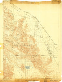
1904 · Indio
USGS Topo · 1:125,000
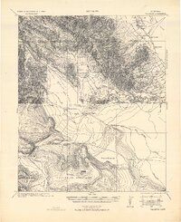
1931 · Vallecito
USGS Topo · 1:125,000
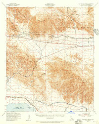
1940 · Cottonwood Spring
USGS Topo · 1:62,500
1940 · Durmid
USGS Topo · 1:62,500
1941 · Coachella
USGS Topo · 1:62,500
1942 · Agua Dulce
USGS Topo · 1:62,500
1943 · Vallecito
USGS Topo · 1:125,000
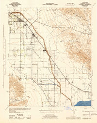
1943 · Coachella
USGS Topo · 1:62,500
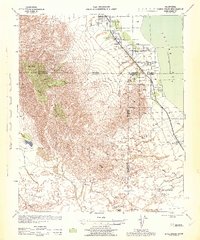
1944 · Agua Dulce
USGS Topo · 1:62,500
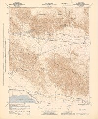
1944 · Cottonwood Spring
USGS Topo · 1:62,500