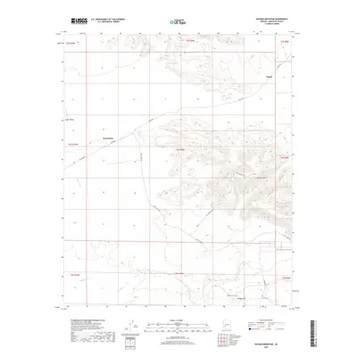
2018 Map of Oatman Mountain
USGS Topo · Published 2018About this map
The Gila River winds through the southern portion of this landscape, carving a fertile corridor through the arid Hyder Valley. This area is marked by significant historical waypoints, most notably the Oatman Flat area where the Oatman Grave and Fourr Cem reflect the arduous 19th-century transit through the Arizona desert. The topography is dominated by the rising slopes of Oatman Mtn in the east, while the western reaches are defined by drainage systems like Copper Wash.
Find a feature on this map
25 named features on this map. Tap any name to fly to it.
Don’t see what you’re looking for? This feature index may not catch every label — zoom into the map to look around manually.
Map Details
Editions of this 2018 Oatman Mountain Map
This is the sole edition of this map. No revisions or reprints were ever made.
Other maps of this area
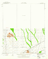
1927 · Hyder
USGS Topo · 1:62,500
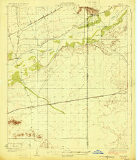
1929 · Aztec
USGS Topo · 1:62,500
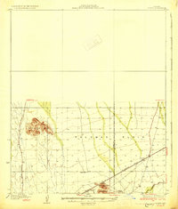
1930 · Hyder
USGS Topo · 1:62,500
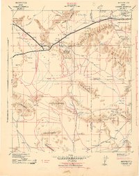
1942 · Vicksburg
USGS Topo · 1:250,000
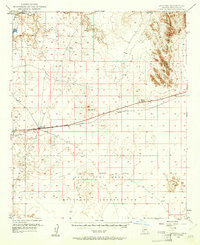
1949 · Sentinel
USGS Topo · 1:62,500
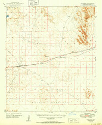
1950 · Sentinel
USGS Topo · 1:62,500
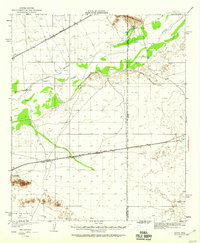
1950 · Aztec
USGS Topo · 1:62,500
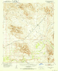
1951 · Dendora Valley
USGS Topo · 1:62,500
1953 · Ajo
USGS Topo · 1:250,000
1954 · Phoenix
USGS Topo · 1:250,000