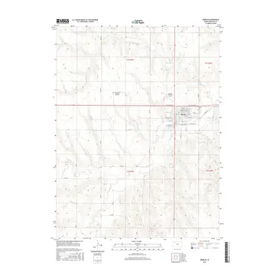
2015 Map of Oberlin
USGS Topo · Published 2015About this map
Oberlin serves as the focal point of this Northwest Kansas landscape, where the confluence of the N Fork Sappa Cr and S Fork Sappa Cr defines the local topography. The town's grid is detailed with residential streets like E Maple St and S Buffalo Ave, while the nearby Oberlin Cem provides a point of interest for genealogists. The area's agricultural and aviation character is evident through the presence of the Oberlin Municipal Airport and the Shaw Aerial Spraying Airport, both located north of the main settlement.
Find a feature on this map
44 named features on this map. Tap any name to fly to it.
Don’t see what you’re looking for? This feature index may not catch every label — zoom into the map to look around manually.
Map Details
Editions of this 2015 Oberlin Map
This is the sole edition of this map. No revisions or reprints were ever made.
Other maps of this area
1951 · Selden
USGS Topo · 1:62,500
1951 · Oberlin
USGS Topo · 1:62,500
1951 · Kanona
USGS Topo · 1:62,500

1954 · Goodland
USGS Topo · 1:250,000

1956 · Goodland
USGS Topo · 1:250,000

1957 · Goodland
USGS Topo · 1:250,000
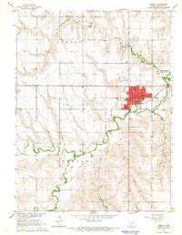
1965 · Oberlin
USGS Topo · 1:24,000
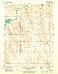
1965 · Kanona
USGS Topo · 1:24,000
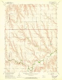
1965 · Oberlin SW
USGS Topo · 1:24,000
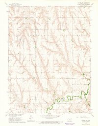
1965 · Kanona NW
USGS Topo · 1:24,000