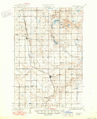
1931 Map of Oberon
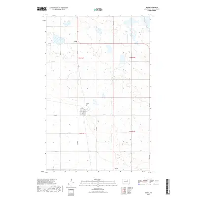
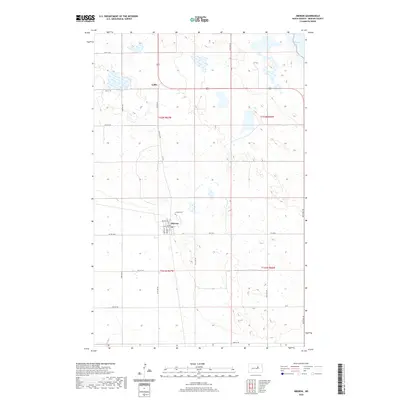
USGS Topo · Published 1950About this map
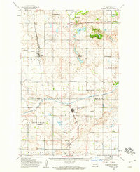
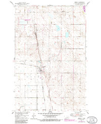
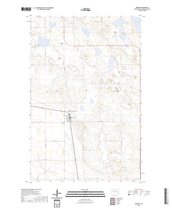
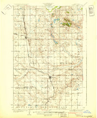
The Fort Totten Indian Reservation occupies a significant portion of this landscape, its boundary following the course of the Sheyenne River as it winds through the southern townships. The regional economy is defined by the Northern Pacific railroad, which links the settlements of Oberon, Sheyenne, and Lallie while bisecting the open prairie. This 1928 survey captures a community deeply rooted in its local institutions, evidenced by the numerous district schools and rural houses of worship such as St Gerards Ch, Presbyterian Ch, and Grandfield Ch. In the north, the shoreline of Devils Lake and the Twin Lakes contrast with the higher ground of Crow Hill. The map meticulously tracks the infrastructure of Benson and Eddy counties, showing a network of section-line roads and scattered farmsteads during a period of established agricultural development in central North Dakota.
Find a feature on this map
25 named features on this map. Tap any name to fly to it.
Don’t see what you’re looking for? This feature index may not catch every label — zoom into the map to look around manually.
Map Details
Editions of this 1931 Oberon Map
2 editions found
Historical Maps of Lallie Through Time
8 maps found