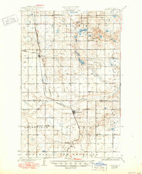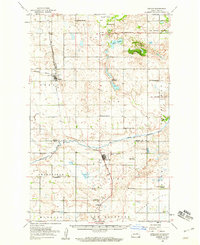
1950 Map of Oberon
USGS Topo · Published 1960About this map
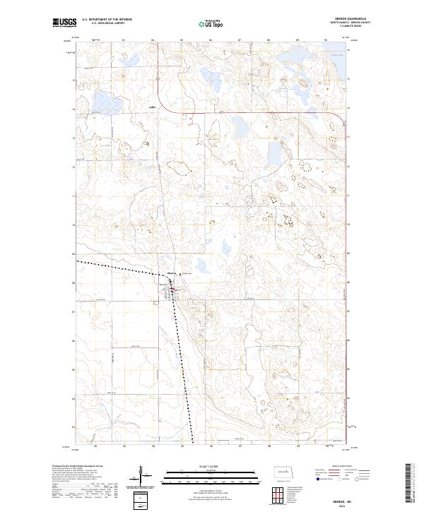
Sheyenne River winds through the heart of this North Dakota landscape, marking a transition between the elevated terrain of Rocky Mountain and the water-streaked plains to the north. The survey documents a dense network of early rural education and faith, featuring numerous localized schoolhouses like Lakeview Sch No 1 and Plainview Sch No 2, alongside community anchors such as St Jerome Ch and Grandfield Ch. The town of Oberon serves as a central hub along the Northern Pacific railroad, which facilitated the local economy of gravel extraction and agriculture during the mid-century. Historical boundary lines, including the Old Indian Boundary and the Old Military Res Bdy, remain etched into the township grid, providing a clear record of nineteenth-century land divisions and tribal territories that persisted into the 1950s mapping.
Find a feature on this map
43 named features on this map. Tap any name to fly to it.
Don’t see what you’re looking for? This feature index may not catch every label — zoom into the map to look around manually.
Map Details
Editions of this 1950 Oberon Map
This is the sole edition of this map. No revisions or reprints were ever made.
Historical Maps of Lallie Through Time
8 maps found