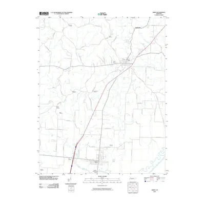
2010 Map of Obion
USGS Topo · Published 2010About this map
Troy and Obion anchor this western Tennessee landscape, where the transport corridor of U.S. Highway 51 and the Obion River define the local geography. The map reveals a dense network of family-named roads like Muse Rd, Rick Rack Rd, and Sleepy Callis Rd, which weave together small farming communities and historic sites. A striking number of burial grounds, including Bethlehem Cemetery, Mount Moriah Cemetery, and Rose Hill Cemetery, are scattered throughout the quadrangle, serving as vital landmarks for genealogical research and local history.
Find a feature on this map
64 named features on this map. Tap any name to fly to it.
Don’t see what you’re looking for? This feature index may not catch every label — zoom into the map to look around manually.
Map Details
Editions of this 2010 Obion Map
This is the sole edition of this map. No revisions or reprints were ever made.
Other maps of this area

1925 · Reelfoot Lake
USGS Topo · 1:62,500

1939 · Reelfoot Lake
USGS Topo · 1:62,500

1939 · Dyersburg
USGS Topo · 1:62,500

1950 · Obion
USGS Topo · 1:24,000

1950 · Rives
USGS Topo · 1:24,000

1951 · Obion
USGS Topo · 1:24,000

1951 · Rives
USGS Topo · 1:24,000

1952 · Lane
USGS Topo · 1:24,000

1954 · Union City
USGS Topo · 1:24,000

1956 · Reelfoot Lake
USGS Topo · 1:62,500