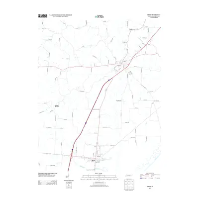
2013 Map of Obion
USGS Topo · Published 2013About this map
Obion and Troy anchor this western Tennessee landscape, situated along the north bank of the Obion River. The terrain is defined by the convergence of several waterways, including Richland Cr and Running Slough, which drain into the main river channel. Transport corridors are central to the layout of the area, notably where the Adkison Memorial Bridge crosses the water at the southern end of the sheet.
Find a feature on this map
94 named features on this map. Tap any name to fly to it.
Don’t see what you’re looking for? This feature index may not catch every label — zoom into the map to look around manually.
Map Details
Editions of this 2013 Obion Map
This is the sole edition of this map. No revisions or reprints were ever made.
Other maps of this area

1925 · Reelfoot Lake
USGS Topo · 1:62,500

1939 · Reelfoot Lake
USGS Topo · 1:62,500

1939 · Dyersburg
USGS Topo · 1:62,500

1950 · Obion
USGS Topo · 1:24,000

1950 · Rives
USGS Topo · 1:24,000

1951 · Obion
USGS Topo · 1:24,000

1951 · Rives
USGS Topo · 1:24,000

1952 · Lane
USGS Topo · 1:24,000

1954 · Union City
USGS Topo · 1:24,000

1956 · Reelfoot Lake
USGS Topo · 1:62,500