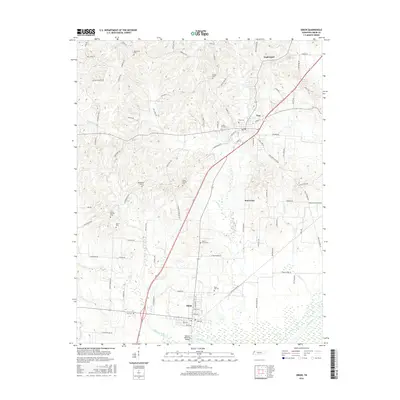
2016 Map of Obion
USGS Topo · Published 2016About this map
Obion and Troy anchor this portion of the West Tennessee landscape, where the flatlands meet the winding course of the Obion River. The map reveals a dense network of rural life defined by numerous family and community burial grounds, including Rose Hill Cem and the Bethlehem Cem. The southern edge is shaped by the wide wetlands surrounding the river, crossed by the Adkison Memorial Bridge, while the northern terrain is dissected by smaller drainages like Rogers Cr and Richland Creek. This area shows a transition from the structured street grids of the established towns to a more irregular pattern of family-named roads such as Sleepy Callis Rd and Ebenezer Rd, reflecting long-standing agricultural land divisions. Smaller settlements like Wolverine and Englewood appear as minor junctions in a landscape dominated by timber and farmland.
Find a feature on this map
88 named features on this map. Tap any name to fly to it.
Don’t see what you’re looking for? This feature index may not catch every label — zoom into the map to look around manually.
Map Details
Editions of this 2016 Obion Map
This is the sole edition of this map. No revisions or reprints were ever made.
Other maps of this area
1925 · Reelfoot Lake
USGS Topo · 1:62,500
1939 · Reelfoot Lake
USGS Topo · 1:62,500
1939 · Dyersburg
USGS Topo · 1:62,500
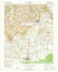
1950 · Obion
USGS Topo · 1:24,000
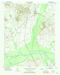
1950 · Rives
USGS Topo · 1:24,000
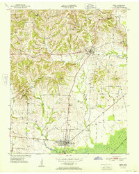
1951 · Obion
USGS Topo · 1:24,000
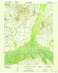
1951 · Rives
USGS Topo · 1:24,000
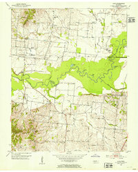
1952 · Lane
USGS Topo · 1:24,000
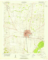
1954 · Union City
USGS Topo · 1:24,000
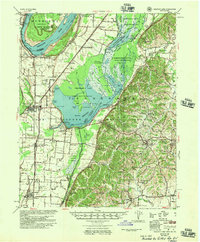
1956 · Reelfoot Lake
USGS Topo · 1:62,500