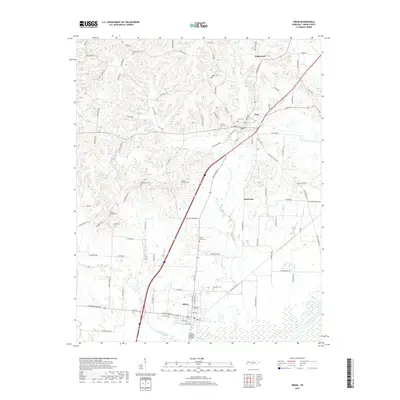
2019 Map of Obion
USGS Topo · Published 2019About this map
Troy and Obion anchor this West Tennessee landscape, where the flatlands of the Obion River valley meet the dissected uplands of the north. The area is defined by its deep agricultural roots and a network of rural roads such as Yellow Hammer Rd and Rick Rack Rd that connect dozens of family cemeteries and small communities. The Obion River floodplain dominates the southern edge, crossed by the Adkison Memorial Bridge as it flows near Richland Creek.
Find a feature on this map
100 named features on this map. Tap any name to fly to it.
Don’t see what you’re looking for? This feature index may not catch every label — zoom into the map to look around manually.
Map Details
Editions of this 2019 Obion Map
This is the sole edition of this map. No revisions or reprints were ever made.
Other maps of this area

1925 · Reelfoot Lake
USGS Topo · 1:62,500

1939 · Reelfoot Lake
USGS Topo · 1:62,500

1939 · Dyersburg
USGS Topo · 1:62,500

1950 · Obion
USGS Topo · 1:24,000

1950 · Rives
USGS Topo · 1:24,000

1951 · Obion
USGS Topo · 1:24,000

1951 · Rives
USGS Topo · 1:24,000

1952 · Lane
USGS Topo · 1:24,000

1954 · Union City
USGS Topo · 1:24,000

1956 · Reelfoot Lake
USGS Topo · 1:62,500