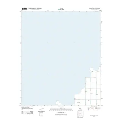
2012 Map of Obsidian Butte
USGS Topo · Published 2012About this map
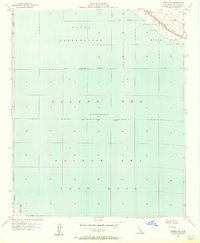
Obsidian Butte stands as a prominent volcanic feature on the southeastern shore of the Salton Sea in this 2012 survey. The landscape is defined by the rigid geometry of Imperial County's agricultural water management system, where the desert is reclaimed through an intricate network of irrigation and runoff channels. These man-made waterways, including the Vail Seven Drain, Vail Six-A Drain, and Vail Cut Off Drain, demonstrate the engineering required to sustain cultivation in this arid basin. A grid of local roads like Lack Rd and Severe Rd provides access to the shoreline and the surrounding industrial-scale fields. The proximity of these drains to the receding waterline illustrates the ongoing hydrological shift of the region, where drainage infrastructure and natural basins meet in a constantly evolving environment.
Find a feature on this map
19 named features on this map. Tap any name to fly to it.
Don’t see what you’re looking for? This feature index may not catch every label — zoom into the map to look around manually.
Map Details
Editions of this 2012 Obsidian Butte Map
This is the sole edition of this map. No revisions or reprints were ever made.
Other maps of this area
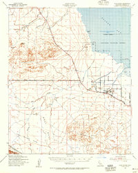
1940 · Kane Spring
USGS Topo · 1:62,500
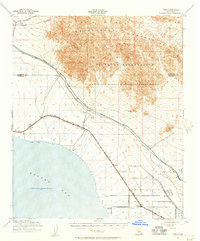
1940 · Frink
USGS Topo · 1:62,500
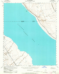
1940 · Durmid
USGS Topo · 1:62,500
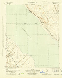
1944 · Durmid
USGS Topo · 1:62,500
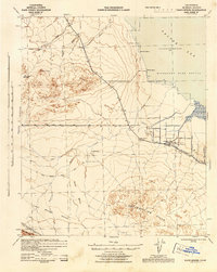
1944 · Kane Spring
USGS Topo · 1:62,500
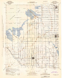
1944 · Calipatria
USGS Topo · 1:62,500
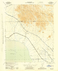
1944 · Frink
USGS Topo · 1:62,500

1954 · Salton Sea
USGS Topo · 1:250,000

1955 · Salton Sea
USGS Topo · 1:250,000
1956 · Durmid SE
USGS Topo · 1:24,000