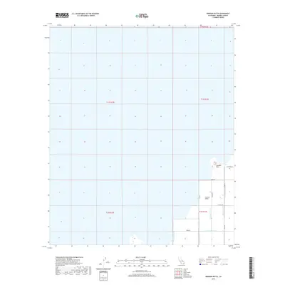
2018 Map of Obsidian Butte
USGS Topo · Published 2018About this map
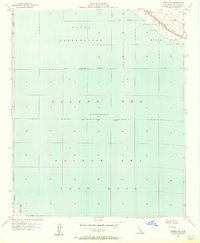
The Salton Sea dominates the northern reaches of this landscape, its shoreline defining the transition into the agricultural heart of the Imperial Valley. This region is characterized by an extensive hydraulic infrastructure, necessary for the cultivation of the arid basin. A network of irrigation and drainage channels, including Vail Lateral Five, Vail Seven Drain, and the Vail-Cut-Off-Drain, crisscross the southern half of the map, illustrating the complex water management system that sustains local farming. Standing as a distinct geological landmark near the water's edge, Obsidian Butte rises above the surrounding flats, surrounded by a grid of rural roads such as Lack Rd and Grubel Rd that serve the outlying fields and geothermal interests.
Find a feature on this map
22 named features on this map. Tap any name to fly to it.
Don’t see what you’re looking for? This feature index may not catch every label — zoom into the map to look around manually.
Map Details
Editions of this 2018 Obsidian Butte Map
This is the sole edition of this map. No revisions or reprints were ever made.
Other maps of this area
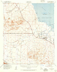
1940 · Kane Spring
USGS Topo · 1:62,500
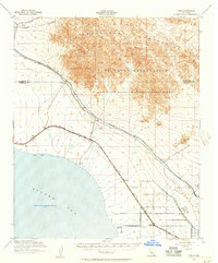
1940 · Frink
USGS Topo · 1:62,500
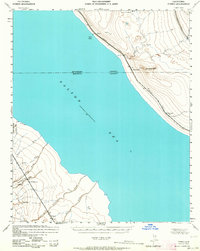
1940 · Durmid
USGS Topo · 1:62,500
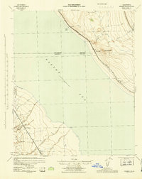
1944 · Durmid
USGS Topo · 1:62,500
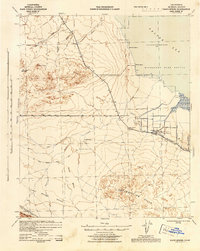
1944 · Kane Spring
USGS Topo · 1:62,500
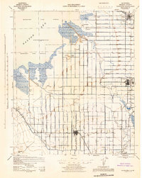
1944 · Calipatria
USGS Topo · 1:62,500
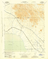
1944 · Frink
USGS Topo · 1:62,500

1954 · Salton Sea
USGS Topo · 1:250,000

1955 · Salton Sea
USGS Topo · 1:250,000
1956 · Durmid SE
USGS Topo · 1:24,000