
2011 Map of Obsidian
USGS Topo · Published 2011About this map
The Salmon River carves a central path through this Idaho landscape, where the settlement of Obsidian and the Idaho Rocky Mountain Ranch sit along the valley floor. State Highway 75 provides the primary transit artery, tracing the river's course as it passes through Decker Flat and past the mouth of Club Canyon. The map reveals a complex network of tributaries feeding into the main stem, including Fisher Creek, Fourth of July Creek, and Champion Creek. To the southwest, the Yellow Belly Lake Fish Barrier Dam at Yellow Belly Lake indicates modern conservation and water management efforts in this mountainous environment. This survey captures a moment in the early 21st century when the land use remains focused on ranching and the preservation of its drainage basins.
Find a feature on this map
21 named features on this map. Tap any name to fly to it.
Don’t see what you’re looking for? This feature index may not catch every label — zoom into the map to look around manually.
Map Details
Editions of this 2011 Obsidian Map
This is the sole edition of this map. No revisions or reprints were ever made.
Other maps of this area
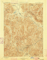
1900 · Sawtooth
USGS Topo · 1:125,000
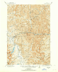
1919 · Custer
USGS Topo · 1:125,000
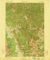
1922 · Custer
USGS Topo · 1:125,000

1955 · Hailey
USGS Topo · 1:250,000

1957 · Challis
USGS Topo · 1:250,000

1959 · Hailey
USGS Topo · 1:250,000

1960 · Challis
USGS Topo · 1:250,000

1962 · Hailey
USGS Topo · 1:250,000

1963 · Challis
USGS Topo · 1:250,000
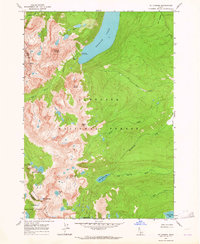
1963 · Mt Cramer
USGS Topo · 1:24,000