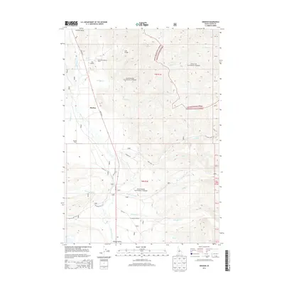
2013 Map of Obsidian
USGS Topo · Published 2013About this map
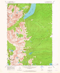
Sawtooth Valley and the surrounding wilderness of Custer County are defined by the winding course of the Salmon River and the small settlement of Obsidian. This high-altitude landscape is primarily managed by the Sawtooth National Forest and Challis National Forest, where drainages like Fourth of July Cr, Milky Cr, and Champion Cr flow through deep canyons. The map documents the layout of the Idaho Rocky Mountain Ranch and the open expanse of Decker Flat during the early 21st century.
Find a feature on this map
35 named features on this map. Tap any name to fly to it.
Don’t see what you’re looking for? This feature index may not catch every label — zoom into the map to look around manually.
Map Details
Editions of this 2013 Obsidian Map
This is the sole edition of this map. No revisions or reprints were ever made.
Other maps of this area
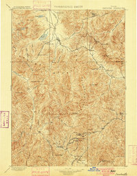
1900 · Sawtooth
USGS Topo · 1:125,000
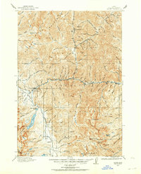
1919 · Custer
USGS Topo · 1:125,000
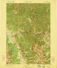
1922 · Custer
USGS Topo · 1:125,000

1955 · Hailey
USGS Topo · 1:250,000

1957 · Challis
USGS Topo · 1:250,000

1959 · Hailey
USGS Topo · 1:250,000

1960 · Challis
USGS Topo · 1:250,000

1962 · Hailey
USGS Topo · 1:250,000

1963 · Challis
USGS Topo · 1:250,000
1963 · Mt Cramer
USGS Topo · 1:24,000