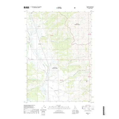
2020 Map of Obsidian
USGS Topo · Published 2020About this map
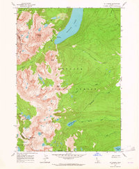
Sawtooth Valley serves as the central corridor for this high-altitude landscape, where the Salmon River flows north through a mix of open meadows and timbered forest. The small settlement of Obsidian is positioned along the river, marking a point of human presence amidst the expansive protected lands of the Challis National Forest and Sawtooth National Forest. The map detail shows a transition from the level terrain of Decker Flat to the rising elevations of the White Cloud Peaks and Redfish Ridge.
Find a feature on this map
46 named features on this map. Tap any name to fly to it.
Don’t see what you’re looking for? This feature index may not catch every label — zoom into the map to look around manually.
Map Details
Editions of this 2020 Obsidian Map
This is the sole edition of this map. No revisions or reprints were ever made.
Other maps of this area
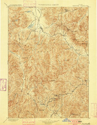
1900 · Sawtooth
USGS Topo · 1:125,000
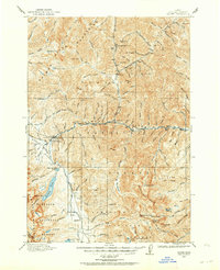
1919 · Custer
USGS Topo · 1:125,000
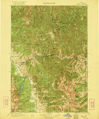
1922 · Custer
USGS Topo · 1:125,000

1955 · Hailey
USGS Topo · 1:250,000

1957 · Challis
USGS Topo · 1:250,000

1959 · Hailey
USGS Topo · 1:250,000

1960 · Challis
USGS Topo · 1:250,000

1962 · Hailey
USGS Topo · 1:250,000

1963 · Challis
USGS Topo · 1:250,000
1963 · Mt Cramer
USGS Topo · 1:24,000