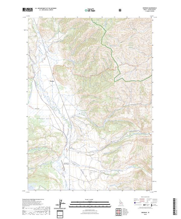
2024 Map of Obsidian
USGS Topo · Published 2024About this map
Sawtooth Valley serves as a critical corridor through the Idaho wilderness, where the high-altitude settlement of Obsidian sits along the upper reaches of the Salmon River. This 2024 survey details a landscape defined by dramatic transitions from river bottomlands to the jagged peaks of the Sawtooth Range. The area is a nexus of public land management, split between the Sawtooth National Forest and Challis National Forest. A complex network of backcountry routes, including the Hell Roaring Trl and Bull Moose Trl, provides access to remote drainage basins like Club Canyon and prominent landmarks such as Shaw Mesa. Notable water bodies like Yellow Belly Lake and the confluence of Fourth of July Creek with the main river system highlight the hydrological importance of this high mountain basin. The presence of the Hell Roaring Ranch Airport near Decker Flat indicates the logistical challenges and unique transportation needs of this isolated Custer County region.
Find a feature on this map
44 named features on this map. Tap any name to fly to it.
Don’t see what you’re looking for? This feature index may not catch every label — zoom into the map to look around manually.
Map Details
Editions of this 2024 Obsidian Map
This is the sole edition of this map. No revisions or reprints were ever made.
Other maps of this area

1900 · Sawtooth
USGS Topo · 1:125,000

1919 · Custer
USGS Topo · 1:125,000

1922 · Custer
USGS Topo · 1:125,000

1955 · Hailey
USGS Topo · 1:250,000

1957 · Challis
USGS Topo · 1:250,000

1959 · Hailey
USGS Topo · 1:250,000

1960 · Challis
USGS Topo · 1:250,000

1962 · Hailey
USGS Topo · 1:250,000

1963 · Challis
USGS Topo · 1:250,000

1963 · Mt Cramer
USGS Topo · 1:24,000