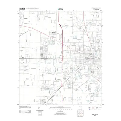
2012 Map of Ocala West
USGS Topo · Published 2012About this map
Ocala's westward expansion into the horse country of Marion County is documented here during a period of significant suburban and institutional growth. The landscape is a dense grid of residential developments and master-planned communities, including Ocala Ridge, Ocala Thoroughbred Acres, and Bahia Oaks, which surround the central hub of Ocala International Airport-Jim Taylor Field.
Find a feature on this map
275 named features on this map. Tap any name to fly to it.
Don’t see what you’re looking for? This feature index may not catch every label — zoom into the map to look around manually.
Map Details
Editions of this 2012 Ocala West Map
This is the sole edition of this map. No revisions or reprints were ever made.
Other maps of this area

1892 · Dunnellon
USGS Topo · 1:62,500

1893 · Citra
USGS Topo · 1:62,500

1894 · Dunnellon
USGS Topo · 1:62,500

1895 · Williston
USGS Topo · 1:62,500

1895 · Citra
USGS Topo · 1:62,500

1895 · Ocala
USGS Topo · 1:62,500

1954 · Cotton Plant
USGS Topo · 1:24,000

1954 · Dunnellon SE
USGS Topo · 1:24,000

1954 · Dunnellon
USGS Topo · 1:62,500

1954 · Gainesville
USGS Topo · 1:250,000