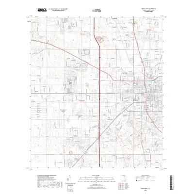
2018 Map of Ocala West
USGS Topo · Published 2018About this map
Ocala and its western outskirts serve as the focal point for this survey of Marion County, showcasing a landscape where urban expansion meets significant memorial and educational sites. The western edge of the city is defined by heavy infrastructure and sprawling institutions, including the Ocala International Airport Jim Taylor Field and the College of Central Florida-Ocala Campus. A notable concentration of cemeteries, such as Watula Cem, Agnew Cem, and Evergreen Cem, creates a distinct cluster of local heritage near the city core, while the smaller settlement of Kendrick sits to the north. Transportation corridors like W Silver Springs Blvd and Old Blichton Rd cut through the terrain, connecting the residential neighborhoods of Ocala Ridge to the downtown area and the natural waters of Palm Lake.
Find a feature on this map
30 named features on this map. Tap any name to fly to it.
Don’t see what you’re looking for? This feature index may not catch every label — zoom into the map to look around manually.
Map Details
Editions of this 2018 Ocala West Map
This is the sole edition of this map. No revisions or reprints were ever made.
Other maps of this area

1892 · Dunnellon
USGS Topo · 1:62,500

1893 · Citra
USGS Topo · 1:62,500

1894 · Dunnellon
USGS Topo · 1:62,500

1895 · Williston
USGS Topo · 1:62,500

1895 · Citra
USGS Topo · 1:62,500

1895 · Ocala
USGS Topo · 1:62,500

1954 · Cotton Plant
USGS Topo · 1:24,000

1954 · Dunnellon SE
USGS Topo · 1:24,000

1954 · Dunnellon
USGS Topo · 1:62,500

1954 · Gainesville
USGS Topo · 1:250,000