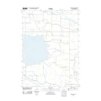
2012 Map of Ocean Lake
USGS Topo · Published 2012About this map
The waters of Fivemile Cr flow across the northern reaches of this Wyoming landscape, providing a critical hydrological anchor for the high plains of Fremont County. This 2012 survey illustrates a region defined by a structured grid of agricultural and access roads, reflecting the systematic land management of the American West. The network of corridors—including E Pavillion Rd, Harris Bridge Rd, and Pattison Farm Rd—reveals a pattern of rural settlement and land use where transportation is closely tied to the natural watercourses and the irrigation needs of the surrounding terrain.
Find a feature on this map
1 named feature on this map. Tap any name to fly to it.
Don’t see what you’re looking for? This feature index may not catch every label — zoom into the map to look around manually.
Map Details
Editions of this 2012 Ocean Lake Map
This is the sole edition of this map. No revisions or reprints were ever made.
Other maps of this area
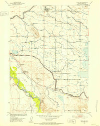
1950 · Pavillion
USGS Topo · 1:24,000
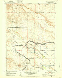
1950 · Pavillion Butte
USGS Topo · 1:24,000
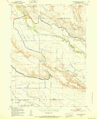
1950 · Harris Bridge
USGS Topo · 1:24,000
1950 · Mexican Pass SW
USGS Topo · 1:24,000
1950 · Ocean Lake
USGS Topo · 1:24,000
1951 · Mule Butte
USGS Topo · 1:24,000
1951 · Pavillion SE
USGS Topo · 1:24,000
1951 · Riverton West
USGS Topo · 1:24,000
1952 · Lost Wells Butte
USGS Topo · 1:24,000

1955 · Thermopolis
USGS Topo · 1:250,000