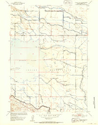
1950 Map of Pavillion
USGS Topo · Published 1952About this map
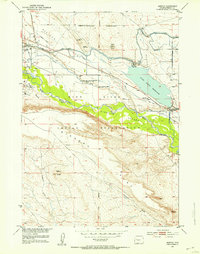
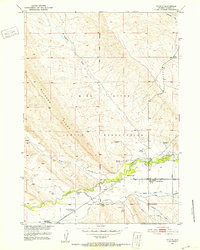
The Wind River Indian Reservation dominates the southern half of this landscape, where the Bureau of Reclamation's Riverton Reclamation Project reshaped the high plains of Fremont County. The complex network of the Wyoming Canal, Pilot Canal, and numerous lateral ditches like the Sand Butte Ditch illustrates the era's massive investment in turning the arid Kinnear Valley into productive farmland.
Find a feature on this map
29 named features on this map. Tap any name to fly to it.
Don’t see what you’re looking for? This feature index may not catch every label — zoom into the map to look around manually.
Map Details
Editions of this 1950 Pavillion Map
This is the sole edition of this map. No revisions or reprints were ever made.
Other maps of this area
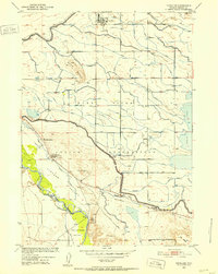
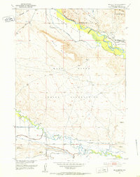
1950 · Pavillion Butte
USGS Topo · 1:24,000
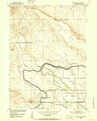
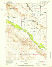
1950 · Harris Bridge
USGS Topo · 1:24,000
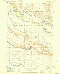
1950 · Ocean Lake
USGS Topo · 1:24,000
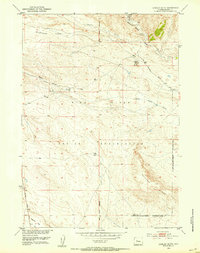
1951 · Mule Butte
USGS Topo · 1:24,000
1951 · Pavillion SE
USGS Topo · 1:24,000
1951 · Morton
USGS Topo · 1:24,000
1951 · Lookout Butte
USGS Topo · 1:24,000
1951 · Ethete
USGS Topo · 1:24,000

1955 · Thermopolis
USGS Topo · 1:250,000

1958 · Thermopolis
USGS Topo · 1:250,000