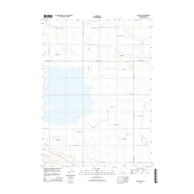
2015 Map of Ocean Lake
USGS Topo · Published 2015About this map
Ocean Lake dominates this central Wyoming landscape, surrounded by a complex network of rural roads and irrigation-influenced geography. Fed by Fivemile Creek in the north, the area is defined by its agricultural and pastoral character, evidenced by thoroughfares like Pattison Farm Rd and Missouri Valley Rd. The grid of the Public Land Survey System is clearly visible, with township boundaries for t3n r2e and t2n r3e providing a framework for local land ownership and genealogy research. Local landmarks such as Goose Knob Dr and the Jtm Moss Arena Rd indicate the region's ranching and equestrian ties. The terrain south of the lake transitions toward the Buckhorn Flats Rd, illustrating the intersection of natural water features and high-desert settlement patterns in Fremont County.
Find a feature on this map
33 named features on this map. Tap any name to fly to it.
Don’t see what you’re looking for? This feature index may not catch every label — zoom into the map to look around manually.
Map Details
Editions of this 2015 Ocean Lake Map
This is the sole edition of this map. No revisions or reprints were ever made.
Other maps of this area
1950 · Pavillion
USGS Topo · 1:24,000
1950 · Pavillion Butte
USGS Topo · 1:24,000
1950 · Harris Bridge
USGS Topo · 1:24,000
1950 · Mexican Pass SW
USGS Topo · 1:24,000
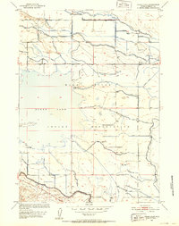
1950 · Ocean Lake
USGS Topo · 1:24,000
1951 · Mule Butte
USGS Topo · 1:24,000
1951 · Pavillion SE
USGS Topo · 1:24,000
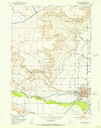
1951 · Riverton West
USGS Topo · 1:24,000
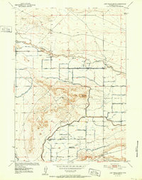
1952 · Lost Wells Butte
USGS Topo · 1:24,000

1955 · Thermopolis
USGS Topo · 1:250,000