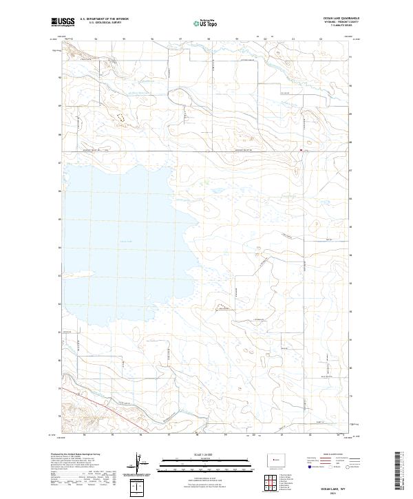
2021 Map of Ocean Lake
USGS Topo · Published 2021About this map
Ocean Lake and its intricate network of irrigation infrastructure define this corner of Fremont County. The landscape is characterized by an extensive system of water management features, including the Pavillion Main Lateral, Pavillion Drain, and Ocean Drain, which support the agricultural operations of the high plains. These channels, along with the Pilot Canal and Le Clair Drain, illustrate the complex engineering required to sustain the Missouri Valley's farming community. The map reveals a grid of rural roads named for local families and landmarks, such as Pattison Farm Rd, Irishman Rd, and Tunnel Hill Rd. To the north, Fivemile Creek cuts across the terrain, while the shoreline of the lake itself is bounded by specialized routes like Angler Rd and Ocean View Dr, reflecting the area's dual identity as a center for both production and recreation.
Find a feature on this map
37 named features on this map. Tap any name to fly to it.
Don’t see what you’re looking for? This feature index may not catch every label — zoom into the map to look around manually.
Map Details
Editions of this 2021 Ocean Lake Map
This is the sole edition of this map. No revisions or reprints were ever made.
Other maps of this area

1950 · Pavillion
USGS Topo · 1:24,000

1950 · Pavillion Butte
USGS Topo · 1:24,000

1950 · Harris Bridge
USGS Topo · 1:24,000

1950 · Mexican Pass SW
USGS Topo · 1:24,000

1950 · Ocean Lake
USGS Topo · 1:24,000

1951 · Mule Butte
USGS Topo · 1:24,000

1951 · Pavillion SE
USGS Topo · 1:24,000

1951 · Riverton West
USGS Topo · 1:24,000

1952 · Lost Wells Butte
USGS Topo · 1:24,000

1955 · Thermopolis
USGS Topo · 1:250,000