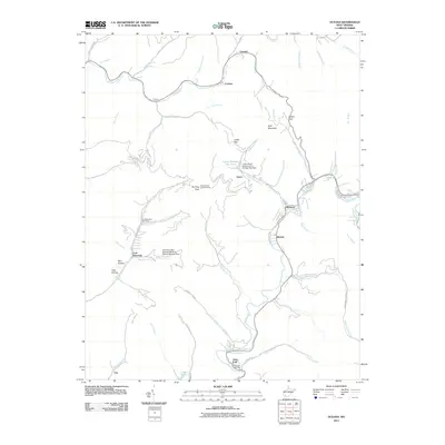
2011 Map of Oceana
USGS Topo · Published 2011About this map
The coal-rich topography of Wyoming County is on full display in this early 21st-century record, where industry and settlement are tightly integrated. The mining landscape is prominently marked by the Coal Mountain Number 9b Mine Refuse Disposal Dam and the nearby Coal Mountain Post Office, which serves as a central hub for the mountain community. Transportation and infrastructure follow the winding watercourses of Huff Creek and the Clear Fork, which dictate the placement of small settlements like Cyclone, Lacoma, and Lynco. High on the ridges, Huff Mountain and the Burning Rock Lookout Tower provide vantage points over a landscape defined by narrow hollows, including Barn Hollow and Toler Hollow. These features illustrate the enduring connection between the region's geography and its extractive heritage, preserved at the turn of the decade.
Find a feature on this map
65 named features on this map. Tap any name to fly to it.
Don’t see what you’re looking for? This feature index may not catch every label — zoom into the map to look around manually.
Map Details
Editions of this 2011 Oceana Map
This is the sole edition of this map. No revisions or reprints were ever made.
Other maps of this area

1891 · Oceana
USGS Topo · 1:125,000

1893 · Oceana
USGS Topo · 1:125,000

1898 · Oceana
USGS Topo · 1:125,000

1909 · Gilbert
USGS Topo · 1:48,000

1910 · Pineville
USGS Topo · 1:48,000

1910 · Bald Knob
USGS Topo · 1:48,000

1912 · Bald Knob
USGS Topo · 1:62,500

1912 · Gilbert
USGS Topo · 1:62,500

1912 · Pineville
USGS Topo · 1:62,500

1913 · Logan
USGS Topo · 1:62,500