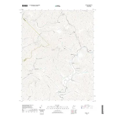
2019 Map of Oceana
USGS Topo · Published 2019About this map
Huff Mtn dominates the central landscape of this Wyoming County region, where the deeply carved valleys of Huff Creek and Clear Fork dictate the pattern of human settlement. The town of Oceana sits at the eastern edge along the Laurel Fork, serving as a gateway to the steep ridges that define the West Virginia coalfields. This 2019 survey documents the extensive network of hollows that house tightly knit communities such as Lillydale, Lillyhaven, and Lyncó. Along the western slopes of the mountain, Coal Mountain and the small settlement of Uno are connected by winding routes like Coal Mountain Rd and Strip Mine Rd, reflecting the industrial legacy of the terrain. Genealogists will find the Milty T Morgan Cem near Toler Hollow, a specific point of interest for family research in this densely wooded area where many small streams like McDonald Mill Cr and Jacob Cook Br converge.
Find a feature on this map
83 named features on this map. Tap any name to fly to it.
Don’t see what you’re looking for? This feature index may not catch every label — zoom into the map to look around manually.
Map Details
Editions of this 2019 Oceana Map
This is the sole edition of this map. No revisions or reprints were ever made.
Other maps of this area

1891 · Oceana
USGS Topo · 1:125,000

1893 · Oceana
USGS Topo · 1:125,000

1898 · Oceana
USGS Topo · 1:125,000

1909 · Gilbert
USGS Topo · 1:48,000

1910 · Pineville
USGS Topo · 1:48,000

1910 · Bald Knob
USGS Topo · 1:48,000

1912 · Bald Knob
USGS Topo · 1:62,500

1912 · Gilbert
USGS Topo · 1:62,500

1912 · Pineville
USGS Topo · 1:62,500

1913 · Logan
USGS Topo · 1:62,500