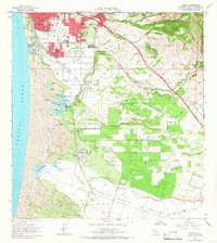
1965 Map of Oceano
USGS Topo · Published 1966About this map
Pismo Dunes and a complex system of coastal lakes dominate the shoreline of this mid-1960s survey, illustrating a unique landscape where agricultural land meets shifting sands. The drainage patterns of Arroyo Grande Creek and Oso Flaco Creek define the low-lying valleys, while the Nipomo Mesa provides a raised plateau for cultivation. Industrial activity is concentrated near Callender, where an oil refinery and coke ovens sit adjacent to the Southern Pacific tracks, reflecting the era's energy infrastructure.
Find a feature on this map
57 named features on this map. Tap any name to fly to it.
Don’t see what you’re looking for? This feature index may not catch every label — zoom into the map to look around manually.
Map Details
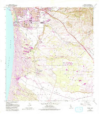
Editions of this 1965 Oceano Map
2 editions found
Other maps of this area

1897 · Arroyo Grande
USGS Topo · 1:62,500

1900 · San Luis
USGS Topo · 1:125,000

1905 · Guadalupe
USGS Topo · 1:125,000

1905 · Lompoc
USGS Topo · 1:125,000

1922 · Nipomo
USGS Topo · 1:62,500

1942 · Guadalupe
USGS Topo · 1:125,000

1942 · Lompoc
USGS Topo · 1:125,000

1942 · Arroyo Grande
USGS Topo · 1:62,500

1942 · Santa Maria
USGS Topo · 1:62,500

1942 · Point Sal
USGS Topo · 1:62,500